El Boquerón in the National Park of the same name, is a volcano that overlooks the city of San Salvador, dominating the skyline.
Its proximity to the city makes it a popular destination for locals and tourists.
Fun Fact: El Salvador is the smallest country in Central America and is home to 170 volcanoes, with more than a dozen of which are active.
The San Salvador Volcano, more commonly referred to as El Boquerón, or Quetzaltepec, is located in the El Boquerón National Park (Parque Nacional El Boquerón).
It last erupted in 1917 when the Boqueroncito cinder cone was formed.
This blog post shows you how to get to the El Boquerón National Park using local transport.
I was staying at the Cumbres del Volcán Flor Blanca, run by a guy from California. It’s a great hostel by the way!
The prices mentioned are from 2022. I assume they have increased, but I doubt the details of getting there and away have changed.
How to get to the El Boquerón National Park
Bus #101-B runs on the northern side of the nearby Parque Cuscatlán, on Calle Almada Franklin Delano Roosevelt. Catch it at the eastern end of the park, on the corner of 25 Avenida Sur:
This will take you to Santa Tecla, an upscale suburb, approximately 30 to 40 minutes away. Traffic is slow.
Get off at the San Martín Park, on 2a Calle Oriente. Walk 3 blocks north on the western side of the park on 3a Avenida Sur, then 1 block west on 3a Calle Oriente.
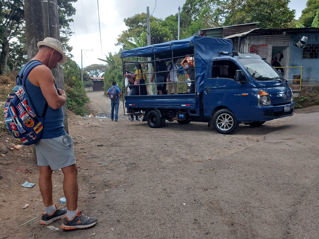
Right there on the northwest corner of 1a Avenida Norte, you will find the pickups that will take you to El Boquerón.
A ride to the park entrance (point A on the map at the end of this post) will cost you 1.50 USD.
For 1 USD, you can get off earlier (point B on the map) and walk the last 750 metres.
There is a small fee to enter the Parque Nacional El Boquerón.
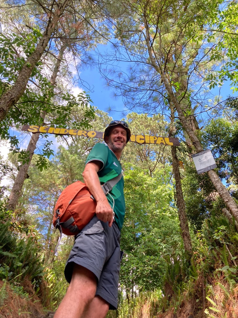
This is not a serious hike by any stretch of the imagination. A network of easy-to-follow trails brings you to the crater rim at viewpoints.
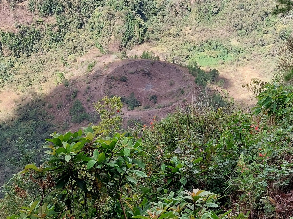
The view from the El Boquerón crater with the Boqueroncito cinder cone visible at the bottom:
Trails down into the crater remain closed:
After the ‘hike’, enjoy a good feed at the Altos del Pinar:
Coming back, my roomie (pictured above) and I walked back to the main road (point C on the map below) and caught the #103-B, which runs into Santa Tecla from San Juan for 20 cents.
The #103-B stops near the corner where you caught the pick-up. Then, walk across town to the 4a Calle Oriente, 1 block south of where you arrived, to retrace your steps on the #101-B back to town.
Screenshot of Maps.me where I have indicated the stops, A, B, and C, referred to above: